 FourFaith IoT
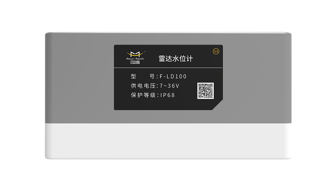
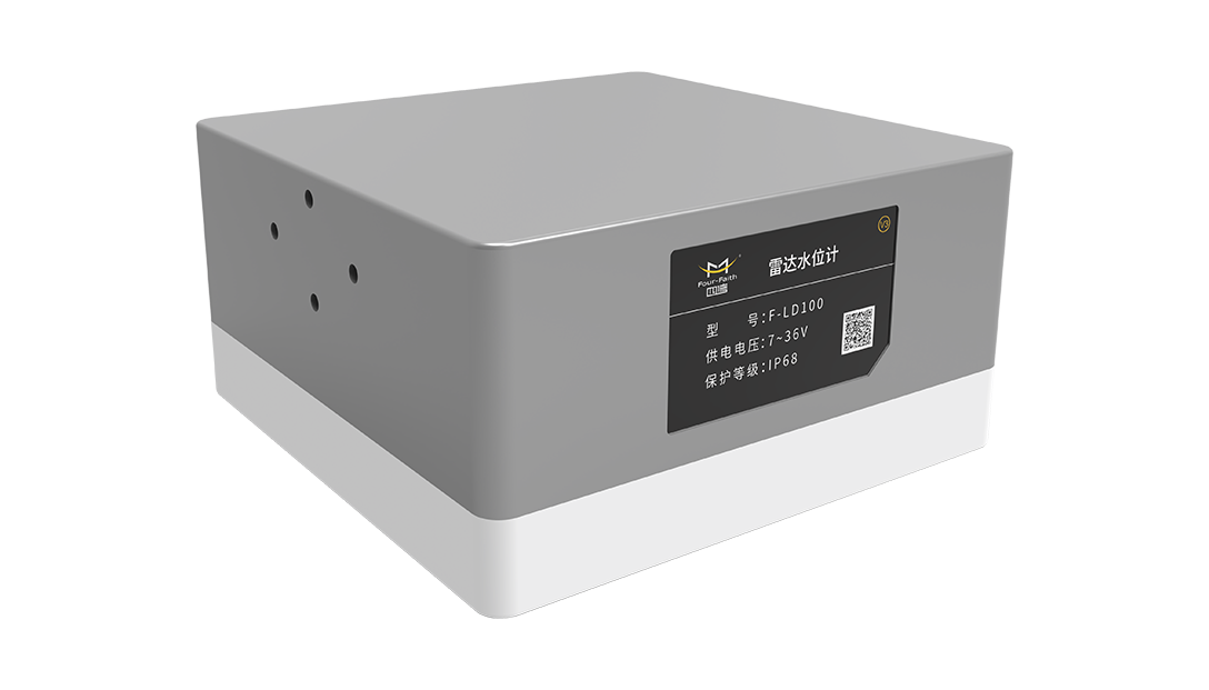
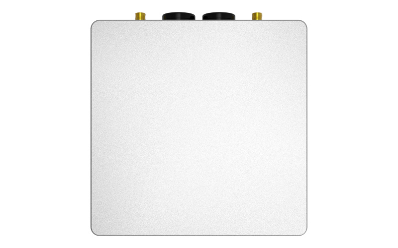
24GHz radar ranging for water level and free air height; local high-capacity data storage; self-diagnosis for voltage and operational status; Bluetooth parameter configuration; RS485/4–20mA output; dual low-power modes; hardware watchdog with ESD and surge protection; Modbus support for parameter modification and communication settings.
Built-in RTU with 2G/3G/4G wireless transmission; reporting to up to 4 primary and 4 backup data centers; SMS and platform alerts for water level exceedances; external rain gauge and analog sensor integration; relay and digital I/O interlocking; remote parameter configuration and firmware updates; expanded communication via satellite and LoRa.
The F-LD100 is a 24GHz frequency-modulated continuous-wave (FMCW) all-in-one radar water level device. It features a built-in radar ranging unit and an optional integrated RTU data acquisition and transmission module, enabling it to independently perform precise water level measurement, local data storage, and data reporting. Equipped with an industrial-grade processor and a fully protected aluminium alloy housing, it completes the entire water level monitoring process without the need for a separate data acquisition terminal, significantly reducing on-site devices, cabling, and maintenance workloads.
.jpg)
This integrated 24 GHz non-contact radar and data acquisition device eliminates the need for external RTUs, delivering millimetre-level accuracy across selectable 0–40 m or 0–70 m ranges with minimal blind spots. Immune to water immersion and corrosion, it operates reliably in harsh environments within an IP68 aluminium housing. The unit features ultra-low power consumption on a DC 6–36 V supply, ideal for remote solar-powered sites, and supports extensive interfaces for connecting peripherals like rain gauges. Wireless Bluetooth commissioning, local serial upgrades, and reliable multi-link transmission with automatic reconnection ensure efficient setup and complete data integrity.
| Measurement parameters | Water level, free air height | Measurement range | 0–40 m / 0–70 m (selectable) |
|---|---|---|---|
| Measurement | ±1 mm | Resolution | 1 mm |
| Dead zone | ≤4 cm | Radar frequency | 24 GHztd |
| Interface types | Standard RS485 and RS232 debugging ports; optional 4–20 mA; additional interfaces for rainfall, analogue signals and controlled power supply available with optional RTU | Communication Methods | Modbus RTU, Bluetooth 4.2; optional RTU supports 2G/3G/4G cellular networks;Power Supply and Power Consumption: DC 6–36 V; radar-only sleep mode less than 1.3 mA; sleep current remains unchanged when equipped with RTU |
| Protection Rating | IP68 | Operating Temperature | –35 °C to +75 °C |
TRemote, unmanned water level monitoring for rivers, reservoirs, open channels in irrigation areas, underground pipe networks, storage basins and flash flood monitoring points.
The radar beam angle is 11°, and the minimum channel bottom width A ≈ 0.193H. Narrow channels will cause measurement errors due to beam interference from channel walls. The device shall be installed in the center of the channel with the antenna parallel to the water surface.
The self-report mode is recommended for solar-powered low-power stations, which only connects to the network during data reporting. The compatible online mode supports real-time platform polling at any time with permanent network connection, yet with higher power consumption.
Send the broadcast command 00 03 02 01 00 01 to read the communication address; use the 06 function code to send modification commands, and the new address will take effect immediately after modification.
Send your project parameters, our engineers reply within 24 hours.
Get Free Quote